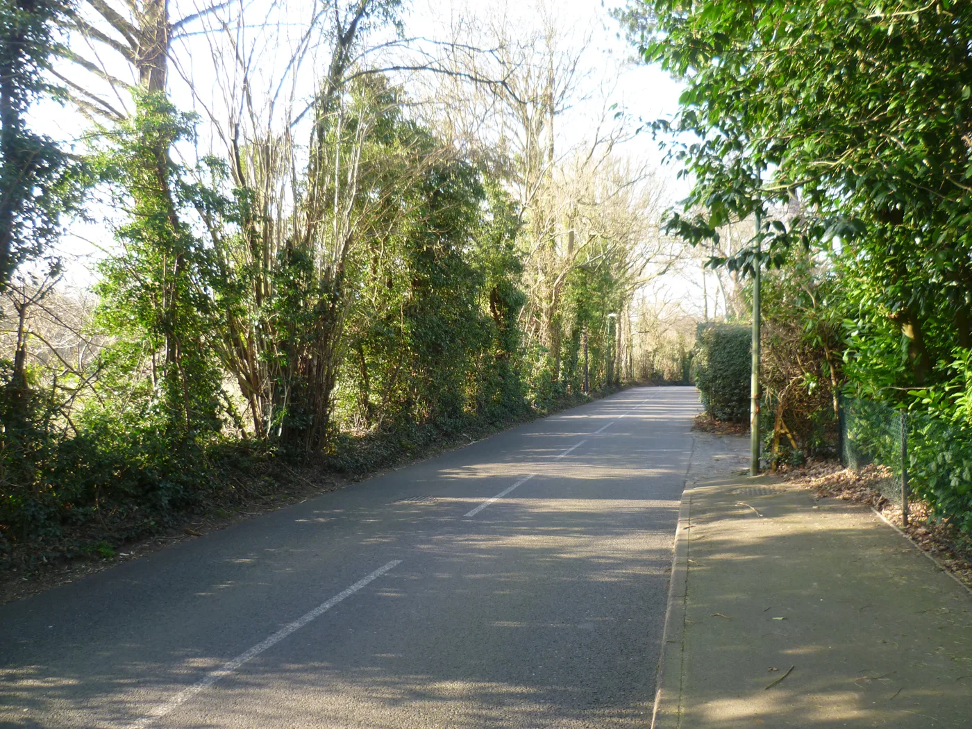

Comments on the 284 homes off Brittains Lane closed on 17 September. What sites ST4-4 and ST4-5 allocate, and why the inspector now has the final word.
The consultation is over. Comments on the Regulation 19 plan closed at 11.59pm on Thursday 17 September and the council's page now reads "this consultation has now closed", with 2,175 responses published. Both Brittains Lane sites remain in the plan the council will submit to the Government later this year. A planning inspector examines it in 2027, and if it is approved the council says it will be used to decide planning applications from 2028. What follows is the record of what is allocated here and what residents were asked to weigh.
The two sites off Brittains Lane that the district’s draft Local Plan earmarks for 284 new homes were open for comment until 11.59pm on Thursday 17 September. Three residents’ associations on the western edge of Sevenoaks organised a countryside walk over the land on Sunday 23 August to show neighbours what is proposed. (Riverhead Parish Council, Brittains Lane Proposed Development: Countryside Walk and Talk)
That walk was arranged by the Redlands, Montreal Park and Ashgrove Area residents’ associations and publicised on Riverhead Parish Council’s website on 13 August. The meeting point was the Brittains Lane end of Redlands Road at 10.30am, and it was billed as lasting about an hour, “discussing the proposed building developments on Brittains Lane (sites ST4-4 and ST4-5) and looking at the impact these sites would have on the surrounding landscape, including local National Landscape areas (formerly AONB), the Brad stream, and Great Britain’s Wood”. (Riverhead Parish Council, Brittains Lane Proposed Development: Countryside Walk and Talk) The walk has passed, and so has the consultation it was called over.
What the plan proposes for Brittains Lane
The two site references come from Policy ST4 of the Sevenoaks District Local Plan, the Regulation 19 version published for its final round of public comment on 23 July. Policy ST4 lists the “greenfield grey belt” sites the council intends to allocate for housing, and in the Sevenoaks urban area it includes:
- ST4-4, Land west of Brittains Lane, Sevenoaks: 5.25 hectares, 56 homes.
- ST4-5, Brittains Lane, Kippington, Sevenoaks: 8.09 hectares, 228 homes.
Together that is 284 homes on 13.34 hectares. The seven Sevenoaks urban area sites in the policy, which also include land north of Barnett Field on Blackhall Lane, land at the Croft on Bradbourne Vale Road, land to the rear of 34 Chipstead Park, a mixed-use site east of London Road at Dunton Green and the 1,500-home site north of Sevenoaks west of Otford Road, total 2,148 homes. (Sevenoaks District Council, Sevenoaks District Local Plan, Regulation 19 Publication version, Policy ST4 (PDF))
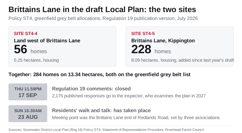
The larger of the two is new to this version of the plan. When the council published the revised draft in June it listed Brittains Lane, Sevenoaks, 228 homes, among the sites added since last year’s consultation, alongside 810 homes at Broke Hill golf course, 300 at 160 London Road and 10 more at Glyn Davies Close in Dunton Green. The 56-home site west of the lane is not on that list of additions. (Sevenoaks District Council, Council considers updated Local Plan to meet Government housing target) We reported the wider changes, including the rise in the district’s target to 17,460 homes over 15 years, when the revised plan appeared: Sevenoaks revises Local Plan upward to 17,460 homes.
What “grey belt” means here
The plan explains that its growth strategy directs development first to sites inside existing settlements and to previously developed land, and then to what it calls “poorly-performing Green Belt, now known as ‘grey belt’”. It says grey belt sites are only considered suitable for allocation where they are in a sustainable location, with particular reference to public transport, and describes the allocated sites as “predominantly located on the edges of higher-tier settlements or close to train stations”. (Sevenoaks District Council, Sevenoaks District Local Plan, Regulation 19 Publication version (PDF))
Grey belt land also comes with conditions. The plan says that before such a site can come forward it must meet the national “golden rules”: policy-compliant affordable housing on major greenfield sites, “necessary improvements to local or national infrastructure”, and “the provision of new or improved green spaces that are accessible to the public”. Major sites will also have to submit what the plan calls a “Social Value” summary setting out how the development benefits existing and new communities. (Sevenoaks District Council, Sevenoaks District Local Plan, Regulation 19 Publication version, paragraphs 4.32 and 4.33 (PDF))
An allocation in the Local Plan is not planning permission. It establishes the principle of housing on the land; the number of homes, layout, access and landscaping would be settled through a planning application, which residents can comment on separately when it is made.
What it means for residents
If you live off Brittains Lane, in Kippington, or on the Redlands, Montreal Park or Ashgrove estates, the formal chance to comment on these allocations has gone. The council’s Statement of Representations Procedure set the deadline at “no later than 11.59pm on Thursday 17 September 2026”, and said anything arriving after that “will be marked as late and may not be considered by the Planning Inspector”. (Sevenoaks District Council, Statement of Representations Procedure, July 2026 (PDF))
What comes next is the examination. The council will submit the plan and every representation to the Government later this year, a Government-appointed inspector examines both in 2027, and only those who ticked the box on the response form asking to take part can appear at the hearings. The boundaries of both Brittains Lane sites, and every other allocation, are still on the council’s interactive map of development sites, and the guide to responding still sets out the soundness tests the inspector will apply. (Sevenoaks District Council, Local Plan proposals)
A second window opens later, on different terms. An allocation is not a permission, so if a developer applies to build on either site the application goes on the council’s planning register with its own consultation period, normally 21 days, open to anyone whether or not they responded to the plan.
For how the plan reached this point, and the reaction when the consultation was approved, see Sevenoaks Local Plan consultation approved. To follow any application that eventually comes forward on the land, our guide to Sevenoaks planning applications explains how to search and track the council’s portal.
Sources
- Riverhead Parish Council, Brittains Lane Proposed Development: Countryside Walk and Talk, 13 August 2026
- Sevenoaks District Council, Sevenoaks District Local Plan, Regulation 19 Publication version, July 2026 (PDF)
- Sevenoaks District Council, Statement of Representations Procedure, July 2026 (PDF) (withdrawn from sevenoaks.gov.uk when the consultation closed on 17 September 2026)
- Sevenoaks District Council, Sevenoaks District Local Plan Regulation 19 Publication, summer 2026
- Sevenoaks District Council, Council considers updated Local Plan to meet Government housing target, 23 June 2026
Image: Brittains Lane by Marathon, CC BY-SA 2.0, via Geograph.
Have your say